http://www.usdirtbiker.com/Maps.htm
Due to the distance necessary to walk from the nearest road, we have looked at other alternative approach routes.
Keith W. sent along this screen capture show that the ID CTR is less than 1000 feet from the trail apparently referenced above.
Here's a scan of a portion of the USGS Thompson Creek quad. The red "X" marks the approx. location of the ID CTR. It appears to be roughly due east from the Custer Lookout.
Here's the same map as above with additional notes. Point A is the assumed parking spot. Points B,C & D represent the theoretical route to hike to the ID CTR. Neither the ridge nor the drainge appear to be named.
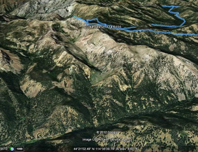
Here's a Google Earth screen capture showing the same approacah route as mentioned above.
This is a closer view of the ID CTR in Google Earth. There's probably a 50-50 chance the actual point is located on a slope too steep to safely access.
This screen capture shows the Forest Serv ice Thompson Creek Road in proximity to the ID CTR and the drainage thought to be accessible for the apporach hike. The blue link is the dirt bike trail described in the first screen capture above.
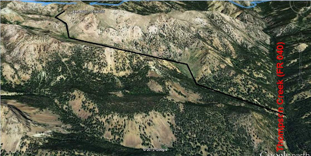
Here's another perspective of the Thompson Creek drainage with respect to the side drainage thought to be suitable for the approach hike.
We put together a first draft approach route. However, after studying the USGS topo, the small sub-drainage appears to be far too steep to safely use. The approach was modified to be a longer route hooking in from the backside of the ID CTR.
This is a closer view of the small sub-drainage referenced above. Once we are onsite, we can determine if indeed this route is too steep.
Here's a scan of a portion of the Sawtooth National Forest Map. The ID CTR is probably in the South Half of Section 20, T12N, R16E. The parking area for the approach hike would be in the vicinity of the Basin Creek confluence with Thompson Creek.


No comments:
Post a Comment